דוקטורנטים מספרים - Daniela Heller Pearlshtien
Makhtesh Ramon and Amiaz Plain, Southern Israel, as Vicarious Calibration Sites for Hyperspectral Orbital Satellites
Daniela Heller Pearlshtien
Supervisor: Prof. Eyal Ben-Dor
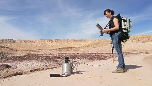
I’m a Remote Sensing Specialist, with more than 15 years’ experience in multispectral and hyperspectral studies. I have worked for both the civilian and defense industries, in a number of different companies. Last year I returned to the university and started my Ph.D. in the remote sensing laboratories, and the geography department, at the Porter School of Environmental Studies. My research is situated in Amiaz Playa and Makhtesh Ramon, in southern Israel, as ideal Vicarious Calibration Sites for spectral hyperspectral orbital sensors.
In coming years, new hyperspectral remote satellites (HSR) will be launched into space (e.g. CHIME of ESA, EMIT of NASA, EmMap of DLR, and SHALOM of ISA), while other HSR sensors are already there (e.g., DESIS of DLR, PRISMA of ASI). Vicarious calibration (VC) of satellite sensors is a routine procedure executed by all space agencies during the lifetime of a space mission and it plays a major role in satellite operations. Therefore, space agencies are now seeking appropriate sites that will fulfill the calibration requirement for hyperspectral satellite operation.
The aim of, my Ph.D. research, is to create a new VC protocol for both radiometry and spectral calibration for HSR Satellites; to that end, we will research two sites in southern Israel that can be captured simultaneously in the same overpass. One will be used for radiometric calibration, while the other will measure spectral and thematic calibration. The radiometric calibration site is located at “Amiaz Playa” in the Dead Sea rift. The spectral/thematic calibration site is Makhtesh Ramon (MR). Conducting a hyperspectral airborne campaign using the AISA-FENIXk1 sensor with 420 bands, 375-2500 nm spectral range and 1.5 m spatial resolution, our goal is to capture Amiaz plain and the entire MR area 40x7 km with high spatial and spectral resolution. We will, therefore, develop an extended spectral and thematic database library that will include the mapping of main minerals in MR: iron oxides, clay, carbonates, and gypsum. A protocol for VC spectral and radiometric calibration of satellite images will be developed, operated, and validated on real satellite image and/ or in simulations of the upcoming hyperspectral satellite images.


